Mappe di Ebridi Esterne
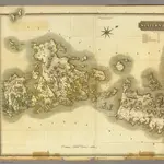 1832|Thomson, John1:110 000
 1830|Hermann, O.1:200 000
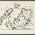
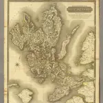 1832|Johnson, William, fl. 1806-18401:139 000
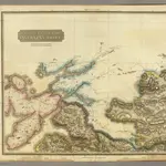 1832|Johnson, William, fl. 1806-18401:128 000
 1848|Ordnance Survey1:63 360
 1875|Ordnance Survey1:63 360
 1874|Ordnance Survey1:63 360